Matlock

Matlock, Derbyshire — county town on the River Derwent

Location Profile
Type Market town and civil parish; county town
District Derbyshire Dales
County Derbyshire, England
River River Derwent
Population c. 9,543 (2011 census, including Matlock Bath)
Postcode DE4
County Town Since 1955 (Derbyshire County Council relocation from Derby)
Notable Building Smedley's Hydro (1853), now Derbyshire County Council Offices, Grade II listed
First Appearance Cambion, Chapter Thirteen: The Coin That Never Spent

Matlock

County town of Derbyshire on the River Derwent.


Overview

Matlock is a market town and civil parish in the Derbyshire Dales district of Derbyshire, England. It is the county town of Derbyshire, having assumed that status in 1955 when Derbyshire County Council moved its headquarters from Derby to the former Smedley's Hydropathic Establishment on the slope above the town. The population, including the adjoining spa village of Matlock Bath, was recorded at 9,543 in the 2011 census.

The town sits in the limestone gorge of the River Derwent at the southern edge of the Peak District National Park — just inside the National Park boundary, with the high country of the White Peak rising immediately to the west and north and the gentler valley country of the lower Derwent opening to the south. Matlock is the administrative anchor of the District of Derbyshire Dales, the seat of county government, and the southern terminus of the heritage Peak Rail line which runs north toward Bakewell through some of the most dramatic gorge scenery in the East Midlands.


Geography & Atmosphere

Matlock occupies a sharp bend in the River Derwent where the river breaks out of the high limestone country into the broader floodplain below. The valley here is a true gorge for a stretch of perhaps two miles: limestone cliffs rise sheer from the eastern bank, falling almost vertically to the water from heights of up to a hundred and twenty metres at High Tor, the principal cliff feature immediately south of the town centre. The west bank, by contrast, climbs more gradually onto the wooded slopes that culminate in the show cave country of the Heights of Abraham.

The town centre is on the higher ground above the east bank, around Crown Square, where the principal roads from Derby, Bakewell and Chesterfield converge. The administrative quarter, dominated by the imposing Italianate bulk of Smedley's Hydro (1853), occupies the slope rising eastward from the town centre toward the village of Starkholmes and the ridge of Matlock Bank. From this ridge, the Victorian folly of Riber Castle — built between 1862 and 1868 for the businessman John Smedley as his private residence — stands on the skyline 270 metres above the gorge, visible from much of the town below.

South along the gorge, the town merges almost imperceptibly into Matlock Bath, a different settlement in administrative terms but a continuous one on the ground. Matlock Bath is a Victorian spa village in the bottom of the gorge, with the riverside lined by the fish-and-chip shops, pubs, gift shops and amusement arcades that have catered to day-trippers from the East Midlands cities for the better part of a hundred and fifty years. The Heights of Abraham cable car, opened in 1984, lifts visitors from the valley floor to the western ridge in a six-minute journey; the show caves of the Heights are among the principal tourist attractions of the Peak District.

Matlock proper, by contrast, is a working county town. Its character is administrative and businesslike: solicitors and estate agents around Crown Square, the council offices on the hill, the bus and railway stations on the river. The Victorian fabric of the town reflects its brief flush of nineteenth-century spa prosperity, but the dominant register is that of a working East Midlands market town that happens to have inherited a substantial cliff-and-river setting.

History

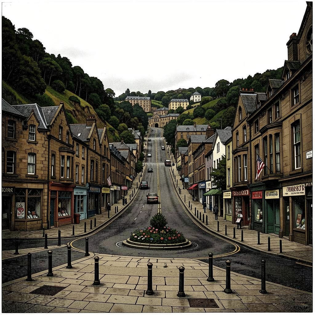
Matlock's recorded history begins in the Domesday survey of 1086, in which the parish is recorded as Meslach. The Old English origin is generally read as mæðlác — ‘the council oak’ or ‘the moot oak’ — a name preserving the memory of an Anglo-Saxon meeting-place beneath a particular tree, with the river crossing and the small farming settlement clustered nearby. The medieval and early modern settlement was a small upland farming village clustered around the church of St Giles on the higher ground above the gorge; the limestone cliffs and the river itself were a barrier to settlement rather than its focus, and the town centre of modern Matlock sits well above the valley floor.

The discovery of warm springs at Matlock Bath, in the gorge below, is conventionally dated to the late seventeenth century — though the springs themselves were known much earlier — and the first bath house at the springs was built in 1696. Through the eighteenth century, Matlock Bath developed into one of the principal English spa resorts, particularly favoured by the Romantic-era traveller. Romantic-era visitors, including Lord Byron, Mary Shelley and John Ruskin, paid visits, and the dramatic limestone gorge drew comparisons to the more famous spa towns of the European Alps — a miniature Switzerland, in the comparison the town has, ever since, found impossible to retire.

Matlock proper transformed in the mid-nineteenth century through the singular ambition of John Smedley (1803–1874). Smedley, a successful Lea Mills hosiery manufacturer, became persuaded after a personal illness in the early 1850s that hydropathy — the medical use of cold water applications — was a near-universal therapeutic system. In 1853 he opened Smedley's Hydro, an enormous Italianate hydropathic establishment on the slope above the town, which over the following two decades grew to accommodate several hundred residents and became the largest hydro in England. Smedley also built the eccentric private mansion of Riber Castle on the ridge above the town between 1862 and 1868, which remained the family residence until his death and subsequently passed through a series of uses, falling derelict for much of the twentieth century before recent partial restoration.

The Hydro continued to operate as a health resort into the twentieth century, with diminishing custom as the spa cure went out of medical fashion, before closing in 1955. In the same year, Derbyshire County Council relocated its administrative headquarters from Derby into the building, where they have remained ever since. Matlock has been the county town in name and in fact since that date, with Derby — since 1997 a unitary authority outside the county council's remit — retaining only ceremonial and historic associations with the county.

The town's economic life in the second half of the twentieth century has been concentrated in county government, tourism along the Matlock Bath gorge, and the continuing operation of the Lea Mills textile works at John Smedley Ltd, the knitwear company descended directly from the eighteenth-century cotton mill which the hydropathic Smedley inherited. The company, founded in 1784, still operates from its original mill site a few miles south-west of the town, and is among the oldest manufacturing concerns in continuous family ownership in the United Kingdom.


The Gorge & Matlock Bath

The two-mile stretch of the Derwent gorge between Matlock and the southern end of Matlock Bath is one of the most concentrated pieces of dramatic geology in lowland England. The river has cut its way through the Carboniferous limestone of the southern White Peak, exposing two-hundred-million-year-old reef beds in vertical cliffs on the eastern wall and producing the long wooded slope of the western side. High Tor, the principal eastern cliff, rises 120 metres above the river in a near-vertical face of pale limestone visible from the road, the railway and the riverside; it has been a recognised landmark and tourist destination since the late eighteenth century, with paths laid out across the summit and across the network of disused lead mines (the High Tor Grottoes) in the cliff face beneath.

The Heights of Abraham, on the western ridge above Matlock Bath, are named after the famous Heights of Abraham at Quebec, where General Wolfe defeated the French in 1759; the Derbyshire Heights were given the name in the late eighteenth century in conscious echo of the Canadian landscape. The two principal show caves on the ridge — the Great Masson Cavern and the Rutland Cavern — were originally lead mines worked from the medieval period onward, only converted to commercial show caves in the early nineteenth century. The Heights of Abraham cable car, suspended on a span of nearly half a mile across the gorge, was opened in March 1984; it was the first alpine-style cable car system installed at a British tourist attraction. The Matlock Bath illuminations, an autumn festival of riverside lights running for several weeks each year since the late nineteenth century, are the principal seasonal draw to the gorge.


Smedley's Hydro & the County Council

The building known as Smedley's Hydro — now officially County Hall, the headquarters of Derbyshire County Council — is the largest and most architecturally distinctive structure in Matlock. Built between 1853 and 1885 in successive phases by John Smedley and his architectural collaborators, the building is a sprawling four-storey complex of Italianate frontages with a central tower and pyramidal roof, set in formal gardens on the slope above Matlock Bank. At the height of the Hydro's nineteenth-century operations, the establishment accommodated several hundred residents in a self-contained therapeutic community, with treatment rooms, gymnasia, gardens, a chapel, and one of the largest single-span ballrooms in Derbyshire.

Smedley's death in 1874 was followed by a long, slow decline in the popularity of hydropathic medicine; by the early twentieth century the establishment was diversifying into general convalescent and tourist hotel business, and by the Second World War it had been requisitioned for use as a Royal Air Force training establishment. The building remained in institutional rather than private use thereafter, and the 1955 sale to Derbyshire County Council saved it from demolition. The Council's subsequent occupancy has preserved the principal Victorian fabric of the building substantially intact. The building was designated Grade II listed in 1973.


Role in the Saga — Cambion spoilers Contains plot reveals from Book One.

Matlock is one of the five towns named in the anomalous-coin pattern identified by Declan Marsden in Chapter Thirteen: The Coin That Never Spent. Of the five towns — Derby, Matlock, Bakewell, Chesterfield, Sheffield, all within forty miles of Hope's End — Matlock is one of the two whose chronological position is established in canon. Declan, tracing the coin recovered at The Rail and Reservoir, places the Matlock appearance in the previous week relative to the Hope's End surfacing, with the Bakewell coin appearing earlier still:

Same mint mark. Same weight—three times what sterling should be. Same warmth, even in December. And wherever it's been, people start seeing things they want. Things they'd kill for. That's how Mammon works—not by taking, but by making you reach. Declan Marsden, Cambion, Chapter Thirteen.

Matlock's position in the cluster is geographically intermediate: on the lower Derwent at the southern edge of the Peak District, it sits between Derby to the south and Bakewell to the north, on the main valley road that the woman planting the coins appears to have travelled. The town's functional character is consistent with the pattern's mechanism: a market town where the unconsidered hand-to-hand passage of cash through pubs, market stalls and small shops can absorb an anomalous coin without anyone needing to examine it.

Subsequent radio mention. Months later, in Chapter Eighteen: Creep, the kitchen radio at 13 Haversage Road relays three local news items in a single newsreader's sentence: a warehouse fire outside Chesterfield; a vicar in Matlock talking about ‘mindless vandalism’ after someone torched the church porch; and a Derby accountant ‘helping police with enquiries’ over missing funds. The vicar's phrasing — mindless vandalism — is a literal civilian assessment of a literal arson attack, not a coded reference to anything else. What is striking is the geography: three news items spanning three of the five Mammon-pattern towns, in three discrete categories of vice — arson, embezzlement, and the destruction of religious property — falling cleanly across the cluster. The text does not connect them aloud. The geography rhymes in the background.


Trivia

  • The Heights of Abraham, on the western ridge above Matlock Bath, are named after the famous Heights of Abraham at Quebec, where General James Wolfe's forces defeated the French Marquis de Montcalm on 13 September 1759 — the engagement that effectively ended French rule in North America. The Derbyshire Heights were renamed in the years immediately following, in conscious echo of the Canadian battlefield.
  • The Heights of Abraham cable car, opened in March 1984, was the first commercial alpine-style cable car system installed at a British tourist attraction. It spans nearly half a mile across the Derwent gorge and ascends 169 metres from the valley floor to the western ridge.
  • Smedley's Hydro was, at the height of its operation in the late nineteenth century, one of the largest hydropathic establishments in England — capable of accommodating several hundred residents in a closed therapeutic community. John Smedley, its founder, believed cold water applications could cure most ailments the body was prone to. The building now houses Derbyshire County Council. The conviction that the right system, properly applied, can resolve most problems, has not so much vanished as migrated.
  • Romantic-era visitors to Matlock Bath are said to have called the gorge a miniature Switzerland. The town has, ever since, been unable to disclaim the comparison.
  • The Matlock Bath illuminations, running on autumn weekends since the late nineteenth century, are the longest-continuing public illuminated festival in any English inland town. The riverside boats are decorated with thousands of small lights and floated through the gorge after dark.
  • High Tor — the limestone cliff dominating the eastern wall of the gorge — is over 120 metres high and contains, in its lower workings, the abandoned High Tor lead mines, worked from the medieval period onwards. The cliff is one of the principal sport-climbing venues of the central Peak District.
  • John Smedley Ltd, the knitwear company at Lea Mills a few miles south-west of Matlock, was founded in 1784 and remains in continuous operation on the same site, still in family ownership. It is among the oldest manufacturing concerns in continuous family ownership in the United Kingdom.

Appearances

Title Role Notes
Cambion
Book One · Book of Thoth Saga
Referenced; Mammon Pattern Location One of the five towns named in Declan Marsden's account of the anomalous-coin pattern in Chapter Thirteen: The Coin That Never Spent; chronologically, the Matlock coin appears after Bakewell's. Mentioned again in Chapter Eighteen: Creep, in a kitchen-radio news bulletin in connection with a torched church porch. Matlock never appears as a directly-set scene.